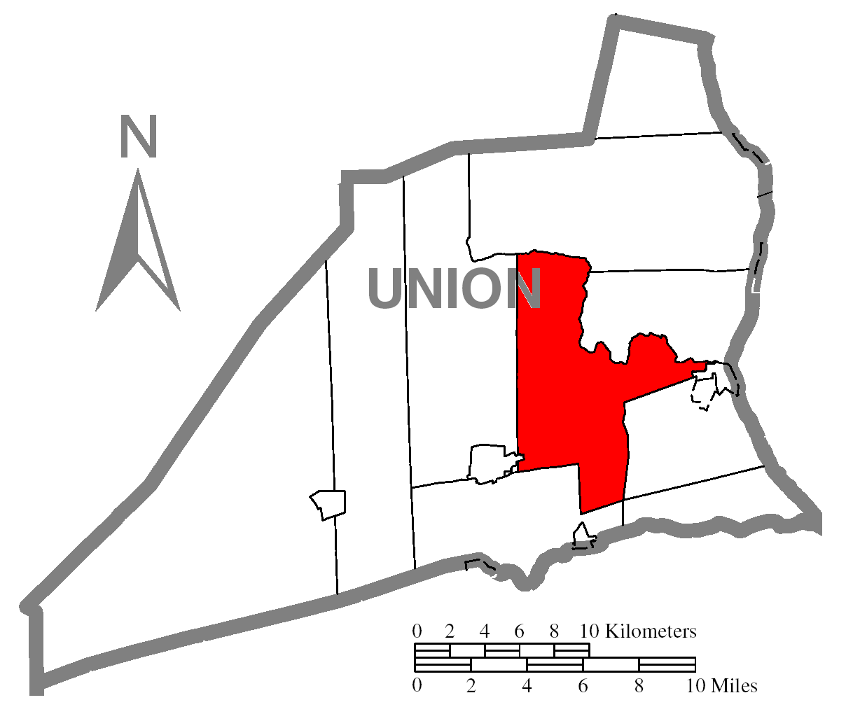
ملف:Map of Union County, Pennsylvania Highlighting Buffalo Township.PNG
حجم هذه المعاينة: 716 × 600 بكسل. البعد الآخر: 1٬218 × 1٬020 بكسل.
الملف الأصلي (1٬218 × 1٬020 بكسل حجم الملف: 52 كيلوبايت، نوع MIME: image/png)
| Description | قالب:PennMapDesc | |
| Date | 2008-01 | |
| Source | Source image taken from the United States Census Bureau's website pa_cosub.pdf and modified by User:Ruhrfisch and User:Dincher | |
| Author | US Census, Dincher | |
| ⧼wm-license-information-permission⧽ (⧼wm-license-information-permission-reusing-text⧽) |
US Census / US Government work is public domain, my modifications licensed under the GNU Free Documentation License
|
|
| ⧼wm-license-information-other-versions⧽ |
Image:Map of Union County, Pennsylvania.png - Source map before highlighting (with text). Image:Map of Union County, Pennsylvania No Text.png - Source map before highlighting (without text). |
تاريخ الملف
اضغط على زمن/تاريخ لرؤية الملف كما بدا في هذا الزمن.
| زمن/تاريخ | صورة مصغرة | الأبعاد | مستخدم | تعليق | |
|---|---|---|---|---|---|
| حالي | ★ مراجعة معتمدة 20:50، 8 ديسمبر 2023 | | 1٬218 × 1٬020 (52 كيلوبايت) | Pastakhov (نقاش | مساهمات) | Upload https://upload.wikimedia.org/wikipedia/commons/4/41/Map_of_Union_County%2C_Pennsylvania_Highlighting_Buffalo_Township.PNG |
لا يمكنك استبدال هذا الملف.
وصلات
لا يوجد صفحات تصل لهذه الصورة.