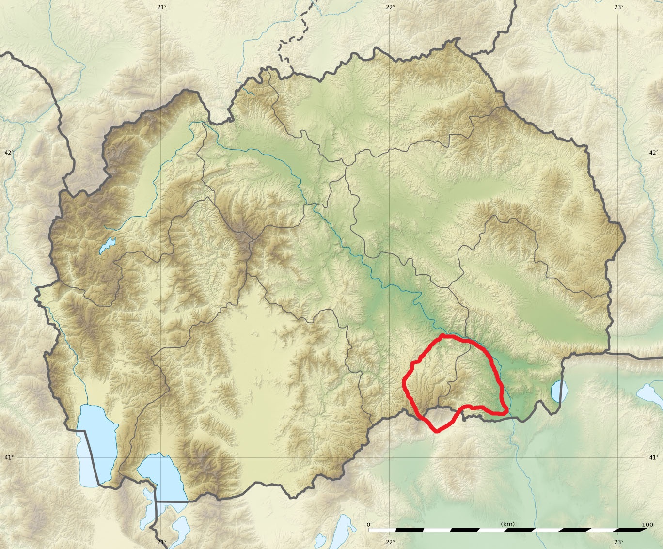
ملف:Macedonia relief Kozuf location map.jpg
حجم هذه المعاينة: 724 × 600 بكسل. البعد الآخر: 1٬368 × 1٬133 بكسل.
الملف الأصلي (1٬368 × 1٬133 بكسل حجم الملف: 534 كيلوبايت، نوع MIME: image/jpeg)
وصف قصير
41°36′00″N 21°45′00″E / 41.60000°N 21.75000°E
| Description |
Equirectangular projection, WGS84 datum
Geographic limits of the map:
|
| Date | 2016-09 |
| Source |
|
| Author |
Eric Gaba (Sting - fr:Sting) and NordNordWest Gemini1980 |
| ⧼wm-license-information-permission⧽ (⧼wm-license-information-permission-reusing-text⧽) |
مستخدم:Sting/Credits |
| ⧼wm-license-information-other-versions⧽ |
|


ترخيص
|

تاريخ الملف
اضغط على زمن/تاريخ لرؤية الملف كما بدا في هذا الزمن.
| زمن/تاريخ | صورة مصغرة | الأبعاد | مستخدم | تعليق | |
|---|---|---|---|---|---|
| حالي | ★ مراجعة معتمدة 23:18، 17 نوفمبر 2023 | | 1٬368 × 1٬133 (534 كيلوبايت) | Pastakhov (نقاش | مساهمات) | Upload https://upload.wikimedia.org/wikipedia/commons/9/9c/Macedonia_relief_Kozuf_location_map.jpg |
لا يمكنك استبدال هذا الملف.
وصلات
لا يوجد صفحات تصل لهذه الصورة.