ملف:Gullfoss-localisation.png

حجم هذه المعاينة: 800 × 555 بكسل. البعد الآخر: 1٬068 × 741 بكسل.
الملف الأصلي (1٬068 × 741 بكسل حجم الملف: 67 كيلوبايت، نوع MIME: image/png)
وصف قصير
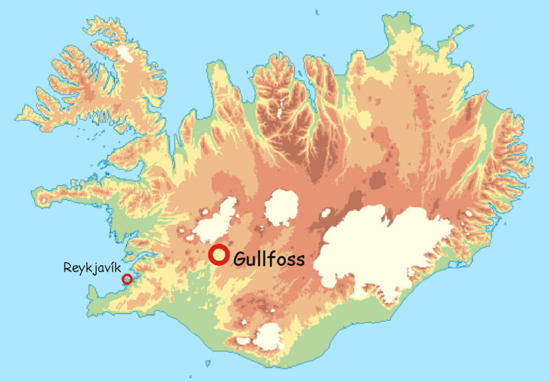
| Description |
Français : Localisation de Gullfoss |
| Date | قالب:Original upload date |
| Source | fr:Utilisateur:Laurent Deschodt, sur un fond de carte provenant du "National Land Survey of Iceland" [1] distribué avec la mention suivante : "The following maps may be used at your discretion and do not require special permission from the National Land Survey of Iceland." ; |
| Author | قالب:Original uploader |
ترخيص

|
قالب:Original upload log
قالب:Original description page
- 2006-04-05 16:08 Laurent Deschodt 1068×741×7 (89636 bytes) == Description == auteur : [[Utilisateur:Laurent Deschodt]], sur un fond de carte provenant du "National Land Survey of Iceland" [http://www.lmi.is/landsurvey.nsf/pages/vefkort.html] distribué avec la mention suivante : "The following maps may be u
تاريخ الملف
اضغط على زمن/تاريخ لرؤية الملف كما بدا في هذا الزمن.
| زمن/تاريخ | صورة مصغرة | الأبعاد | مستخدم | تعليق | |
|---|---|---|---|---|---|
| حالي | ★ مراجعة معتمدة 13:07، 14 ديسمبر 2023 | | 1٬068 × 741 (67 كيلوبايت) | Pastakhov (نقاش | مساهمات) | Upload https://upload.wikimedia.org/wikipedia/commons/c/c7/Gullfoss-localisation.png |
لا يمكنك استبدال هذا الملف.
وصلات
لا يوجد صفحات تصل لهذه الصورة.