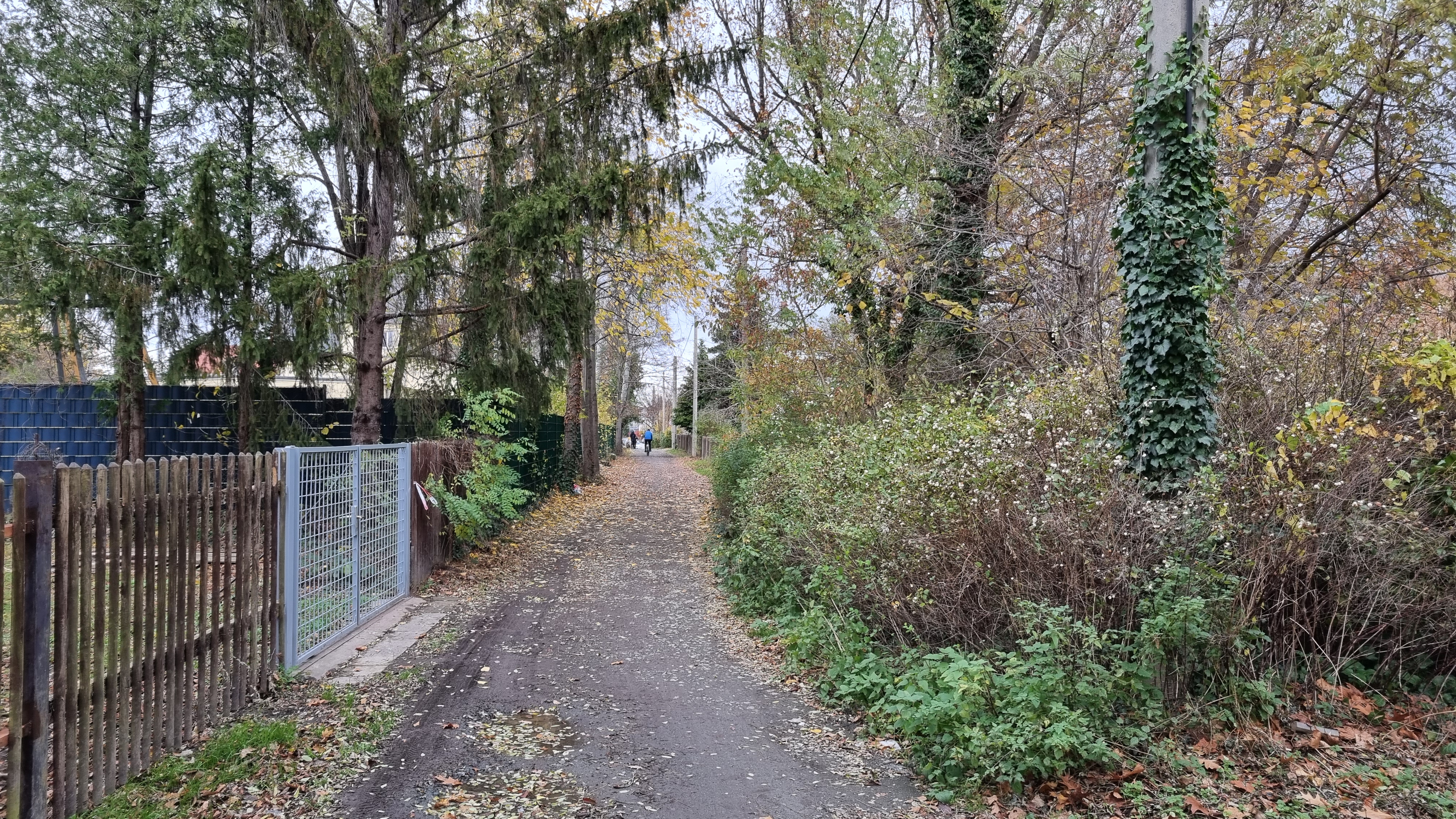
ملف:Grasweg.jpg
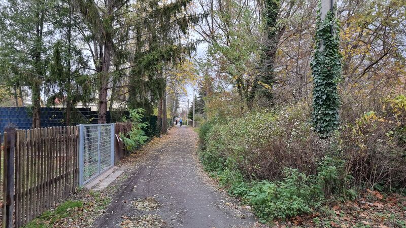
حجم هذه المعاينة: 800 × 450 بكسل. البعدان الآخران: 2٬560 × 1٬440 بكسل | 4٬032 × 2٬268 بكسل.
الملف الأصلي (4٬032 × 2٬268 بكسل حجم الملف: 5٫13 ميجابايت، نوع MIME: image/jpeg)
وصف قصير
| Object location | | View all coordinates using: OpenStreetMap |
|---|
ترخيص
|
تاريخ الملف
اضغط على زمن/تاريخ لرؤية الملف كما بدا في هذا الزمن.
| زمن/تاريخ | صورة مصغرة | الأبعاد | مستخدم | تعليق | |
|---|---|---|---|---|---|
| حالي | ★ مراجعة معتمدة 13:08، 12 ديسمبر 2023 | | 4٬032 × 2٬268 (5٫13 ميجابايت) | Pastakhov (نقاش | مساهمات) | Upload https://upload.wikimedia.org/wikipedia/commons/7/7c/Grasweg.jpg |
لا يمكنك استبدال هذا الملف.
وصلات
لا يوجد صفحات تصل لهذه الصورة.