ملف:French Frigate Shoals.jpg
حجم هذه المعاينة: 600 × 600 بكسل. البعد الآخر: 1٬350 × 1٬350 بكسل.
الملف الأصلي (1٬350 × 1٬350 بكسل حجم الملف: 946 كيلوبايت، نوع MIME: image/jpeg)
وصف قصير
| Description |
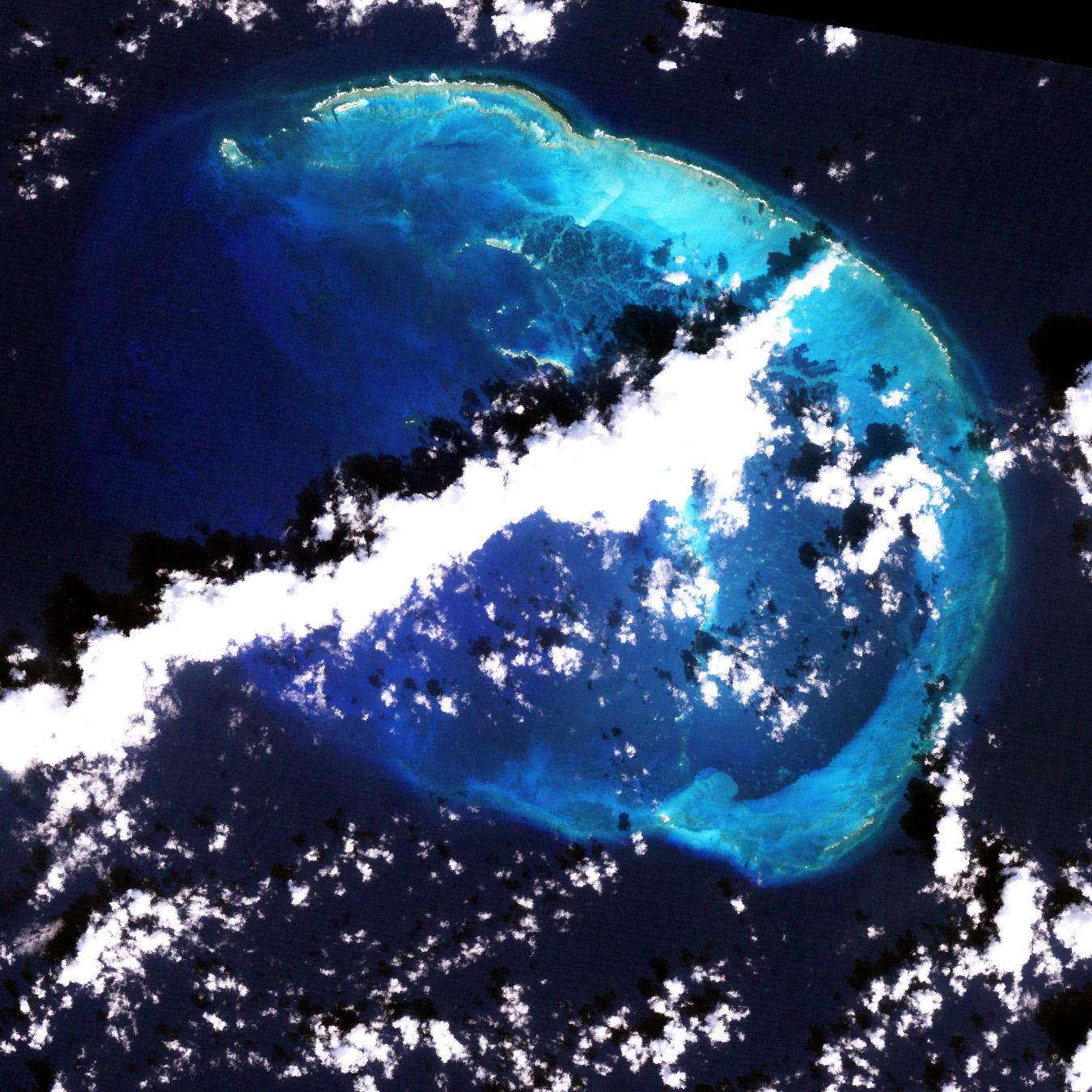
Deutsch: USGS-Landsat7-Satellitenbild der French Frigate Shoals, Nordwestliche Hawaii-Inseln
English: French Frigate Shoals, Northwestern Hawaiian Islands - Satellite image from USGS' Landsat7 Satellite |
| Date | not specified |
| Source | http://www.hawaiireef.noaa.gov/imagery/rpa.html |
| Author | Landsat images were purchased by US Geological Survey |
ترخيص
This image is a work of a United States Geological Survey employee, taken or made during the course of the person's official duties. As a work of the United States Government, the image is in the public domain. For more information, see the USGS copyright policy.
 |
تاريخ الملف
اضغط على زمن/تاريخ لرؤية الملف كما بدا في هذا الزمن.
| زمن/تاريخ | صورة مصغرة | الأبعاد | مستخدم | تعليق | |
|---|---|---|---|---|---|
| حالي | ★ مراجعة معتمدة 17:44، 6 أكتوبر 2023 | | 1٬350 × 1٬350 (946 كيلوبايت) | Pastakhov (نقاش | مساهمات) | Upload https://upload.wikimedia.org/wikipedia/commons/c/c2/French_Frigate_Shoals.jpg |
لا يمكنك استبدال هذا الملف.
وصلات
لا يوجد صفحات تصل لهذه الصورة.