ملف:France location map-Regions-2015.svg

حجم معاينة PNG لذلك الملف ذي الامتداد SVG: 624 × 600 بكسل. البعد الآخر: 2٬131 × 2٬048 بكسل.
الملف الأصلي (ملف SVG، أبعاده 2٬000 × 1٬922 بكسل، حجم الملف: 519 كيلوبايت)
وصف قصير
46°15′00″N 02°06′00″E / 46.25000°N 2.10000°E
| Description |
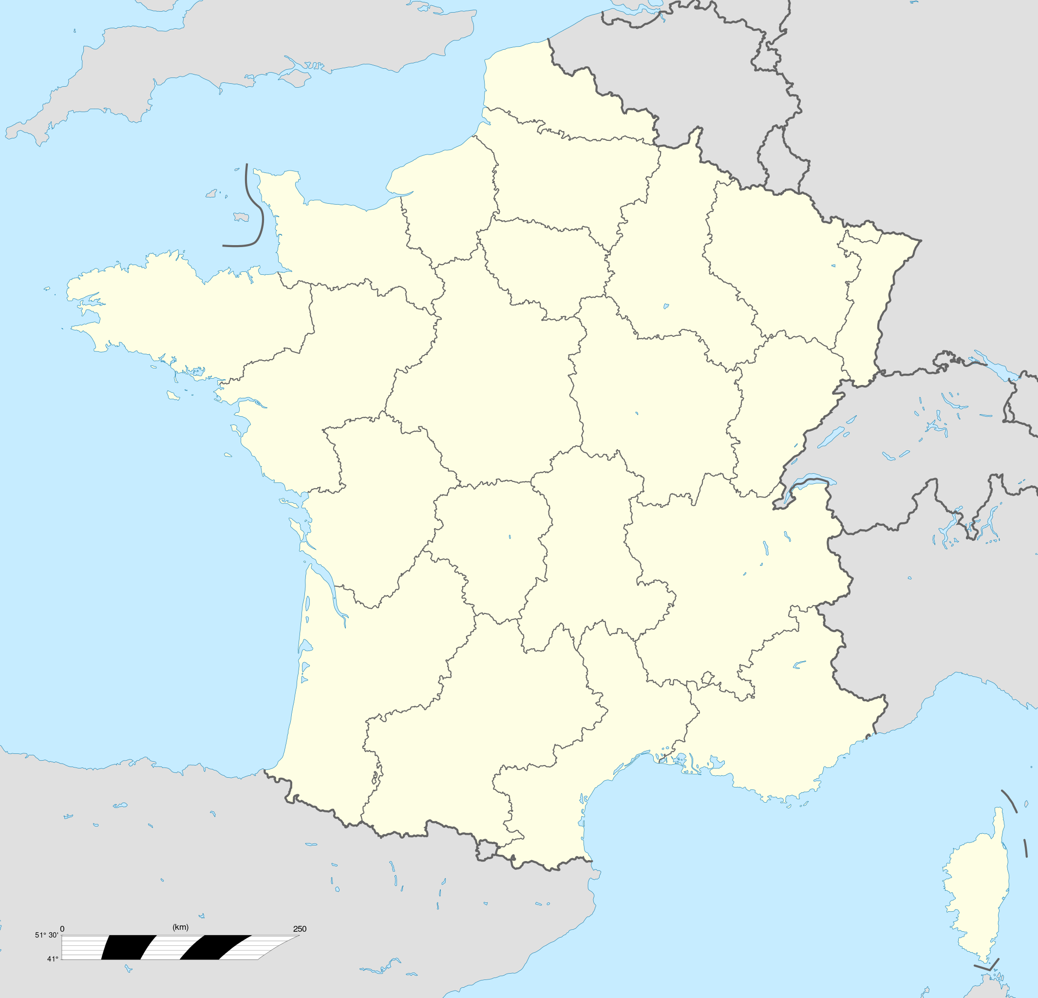
English: Blank administrative map of France for geo-location purpose, with regions.
Approximate scale : 1:3 000 000 Français : Carte administrative vierge de la France destinée à la géolocalisation, avec régions.
Échelle approximative : 1:3 000 000 Projection équirectangulaire, données WGS84
Limites géographiques de la carte :
|
| Date | 2008-07 |
| Source |
Own work
|
| Author | Eric Gaba (Sting - Sting) |
| ⧼wm-license-information-permission⧽ (⧼wm-license-information-permission-reusing-text⧽) |
مستخدم:Sting/Credits |
| ⧼wm-license-information-other-versions⧽ |
|


| ملف:Filing cabinet icon.svg | empty |
ترخيص
|

تاريخ الملف
اضغط على زمن/تاريخ لرؤية الملف كما بدا في هذا الزمن.
| زمن/تاريخ | صورة مصغرة | الأبعاد | مستخدم | تعليق | |
|---|---|---|---|---|---|
| حالي | ★ مراجعة معتمدة 13:21، 4 ديسمبر 2023 | | 2٬000 × 1٬922 (519 كيلوبايت) | Pastakhov (نقاش | مساهمات) | Upload https://upload.wikimedia.org/wikipedia/commons/e/e3/France_location_map-Regions-2015.svg |
لا يمكنك استبدال هذا الملف.
وصلات
الصفحات التالية تحتوي على وصلة لهذه الصورة:
.svg)