ملف:Falkland Islands map from CIA World Factbook.png
لا توجد دقة أعلى متوفرة.
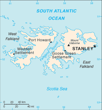
Falkland_Islands_map_from_CIA_World_Factbook.png (328 × 352 بكسل حجم الملف: 9 كيلوبايت، نوع MIME: image/png)
وصف قصير
| Description |
English: Falkland Islands map from CIA World Factbook |
| Source | CIA World Factbook |
| Author | CIA |
ترخيص
 |
قالب:Original upload log
قالب:Original description page
- 2007-06-19 20:12 PNG crusade bot 328×352× (9504 bytes) {{PD-USGov}} [[sr:Слика:Falklands Map.gif]] == Automatically converted to PNG == The [[User:PNG crusade bot|PNG crusade bot]] automatically converted this image to the more efficient [[PNG]] format. The image was previously uploaded as "F
تاريخ الملف
اضغط على زمن/تاريخ لرؤية الملف كما بدا في هذا الزمن.
| زمن/تاريخ | صورة مصغرة | الأبعاد | مستخدم | تعليق | |
|---|---|---|---|---|---|
| حالي | ★ مراجعة معتمدة 12:37، 5 أكتوبر 2023 | | 328 × 352 (9 كيلوبايت) | Pastakhov (نقاش | مساهمات) | Upload https://upload.wikimedia.org/wikipedia/commons/e/e0/Falkland_Islands_map_from_CIA_World_Factbook.png |
لا يمكنك استبدال هذا الملف.
وصلات
لا يوجد صفحات تصل لهذه الصورة.