ملف:Castor Church - geograph.org.uk - 162294.jpg
حجم هذه المعاينة: 450 × 600 بكسل. البعد الآخر: 480 × 640 بكسل.
الملف الأصلي (480 × 640 بكسل حجم الملف: 95 كيلوبايت، نوع MIME: image/jpeg)
وصف قصير
| Description |
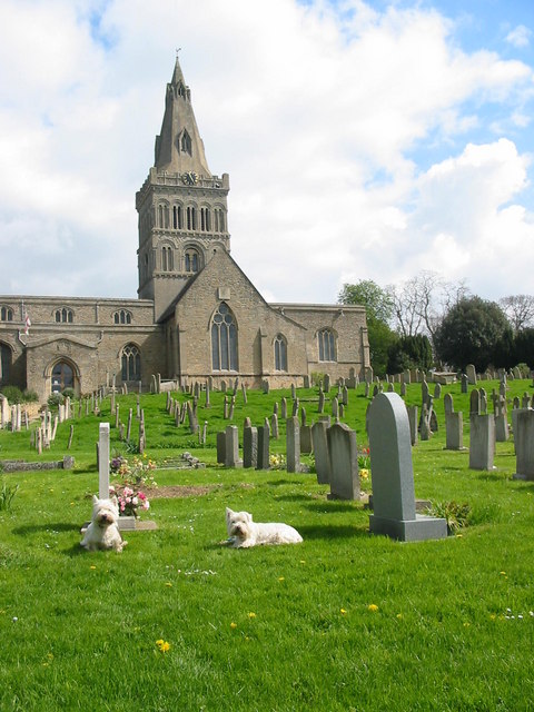
English: Castor Church. The church of St Kyneburgha at Castor to the west of Peterborough. Castor is the location of an important Roman settlement and the Roman palace was the second largest Roman building in Britain. The church is built on the site of the Roman courtyard. The area was an important Roman industrial site where pottery known as 'Castor Ware' was produced. |
| Date | 2006-04-29 |
| Source | From geograph.org.uk |
| Author | Mike Bardill |
| ⧼wm-license-cc-attribution⧽ (قالب:I18n/Credit line) |
Mike Bardill / Castor Church / |
52°34′20″N 0°20′28″W / 52.5722°N 0.341°W
_heading:22)
| Object location | ملف:Compass-icon bb NNE.svg | View all coordinates using: OpenStreetMap |
|---|
_heading:22.00&language=⧼lang⧽)
ترخيص
تاريخ الملف
اضغط على زمن/تاريخ لرؤية الملف كما بدا في هذا الزمن.
| زمن/تاريخ | صورة مصغرة | الأبعاد | مستخدم | تعليق | |
|---|---|---|---|---|---|
| حالي | ★ مراجعة معتمدة 01:43، 15 يناير 2024 | | 480 × 640 (95 كيلوبايت) | Pastakhov (نقاش | مساهمات) | Upload https://upload.wikimedia.org/wikipedia/commons/b/b2/Castor_Church_-_geograph.org.uk_-_162294.jpg |
لا يمكنك استبدال هذا الملف.
وصلات
لا يوجد صفحات تصل لهذه الصورة.