ملف:COVID-19 outbreak the Netherlands per capita cases map.svg
حجم معاينة PNG لذلك الملف ذي الامتداد SVG: 509 × 599 بكسل. البعد الآخر: 1٬739 × 2٬048 بكسل.
الملف الأصلي (ملف SVG، أبعاده 512 × 603 بكسل، حجم الملف: 132 كيلوبايت)
وصف قصير
قالب:Image generation
| Description |
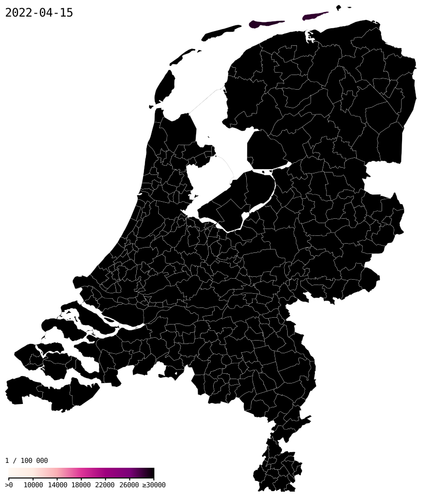
English: Confirmed cases of COVID-19 per 100,000 residents in the Netherlands by municipality. Gradient steps: >0 10,000 14,000 18,000 22,000 26,000 ≥ 30,000 |
| Data table | Data:COVID-19 outbreak the Netherlands per capita cases map.tab |
| Date | 2020-03-22 |
| Source |
|
| Author | Ythlev |
52°11′N 5°20′E / 52.19°N 5.33°E

|
أحداث هذه المقالة هي أحداث جارية. المعلومات المذكورة قد تتغير بسرعة مع تغير الحدث. |
ترخيص
|


تاريخ الملف
اضغط على زمن/تاريخ لرؤية الملف كما بدا في هذا الزمن.
| زمن/تاريخ | صورة مصغرة | الأبعاد | مستخدم | تعليق | |
|---|---|---|---|---|---|
| حالي | ★ مراجعة معتمدة 05:36، 25 أكتوبر 2023 | | 512 × 603 (132 كيلوبايت) | Pastakhov (نقاش | مساهمات) | Upload https://upload.wikimedia.org/wikipedia/commons/f/f9/COVID-19_outbreak_the_Netherlands_per_capita_cases_map.svg |
لا يمكنك استبدال هذا الملف.
وصلات
لا يوجد صفحات تصل لهذه الصورة.
