ملف:Airborne Airpark - USGS 22 March 1994.jpg
حجم هذه المعاينة: 600 × 600 بكسل. البعد الآخر: 2٬000 × 2٬000 بكسل.

الملف الأصلي (2٬000 × 2٬000 بكسل حجم الملف: 506 كيلوبايت، نوع MIME: image/jpeg)
| Description |
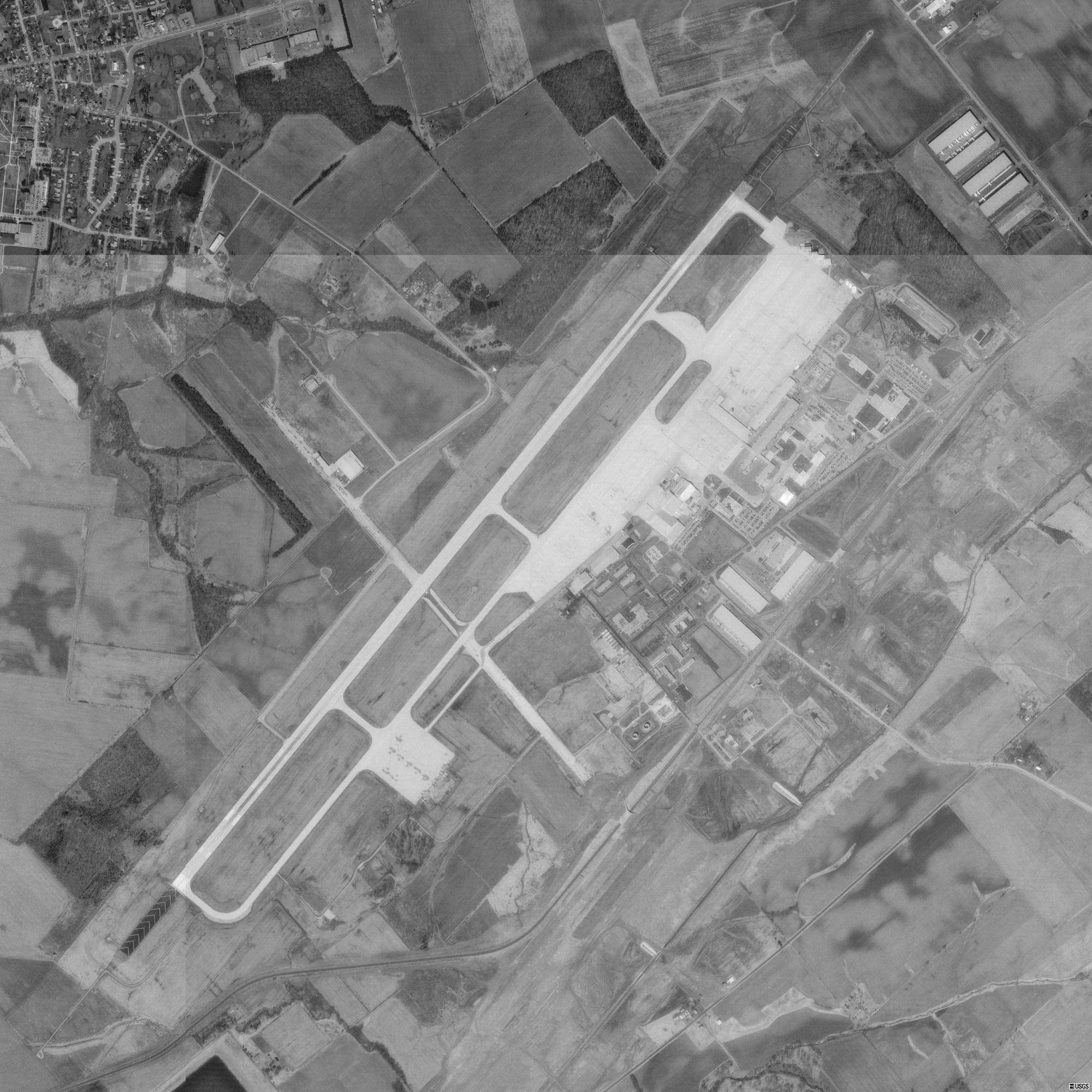
English: USGS digital orthophoto of Airborne Airpark in Wilmington, Clinton County, Ohio, United States. Former location of Clinton County Army Airfield and Clinton County Air Force Base. |
| Date | 1994-03-22 |
| Source |
USGS The National Map, via MSR Maps (formerly TerraServer-USA) |
| Author | United States Geological Survey (USGS) |
| ⧼wm-license-information-permission⧽ (⧼wm-license-information-permission-reusing-text⧽) |
Public domain |
| Object location |  | View all coordinates using: OpenStreetMap |  |
|---|

ترخيص
 |
This image is a work of a United States Geological Survey employee, taken or made as part of that person's official duties. As a work of the United States Government, the image is in the public domain in the US. For more information, see the USGS copyright policy. See Wikipedia:Public domain and Wikipedia:Copyrights for more details. |  |
تاريخ الملف
اضغط على زمن/تاريخ لرؤية الملف كما بدا في هذا الزمن.
| زمن/تاريخ | صورة مصغرة | الأبعاد | مستخدم | تعليق | |
|---|---|---|---|---|---|
| حالي | ★ مراجعة معتمدة 09:26، 13 أكتوبر 2023 | | 2٬000 × 2٬000 (506 كيلوبايت) | Pastakhov (نقاش | مساهمات) | Upload https://upload.wikimedia.org/wikipedia/commons/3/35/Airborne_Airpark_-_USGS_22_March_1994.jpg |
لا يمكنك استبدال هذا الملف.
وصلات
لا يوجد صفحات تصل لهذه الصورة.
