ملف:Aerial image of the Ismaning Reservoir (view from the southeast).jpg
حجم هذه المعاينة: 800 × 392 بكسل. البعدان الآخران: 2٬560 × 1٬256 بكسل | 5٬300 × 2٬600 بكسل.
الملف الأصلي (5٬300 × 2٬600 بكسل حجم الملف: 5٫34 ميجابايت، نوع MIME: image/jpeg)
وصف قصير
| Description |
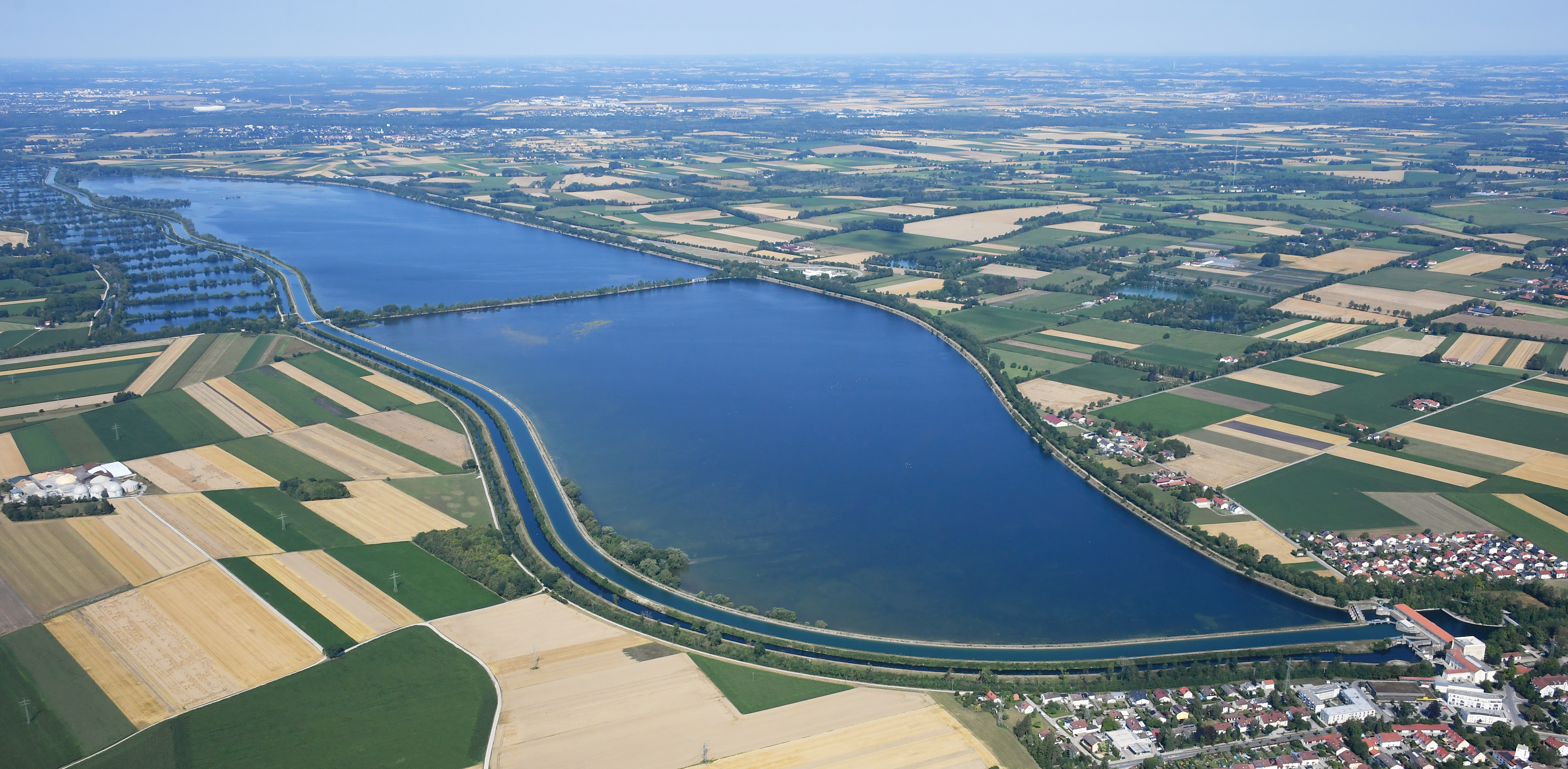
English: Aerial image of the Ismaning Reservoir (view from the southeast)
Deutsch: Luftbild des Ismaninger Speichersees (Ansicht von Südosten) |
| Date | 2023-07-23 10:27:21 |
| Source | Own work |
| Author | Carsten Steger |
48°12′37″N 11°48′41″E / 48.210278°N 11.811389°E
.jpg¶ms=48.210278_N_11.811389_E_heading:295)
| Object location | | View all coordinates using: OpenStreetMap |
|---|
.jpg¶ms=048.217500_N_0011.751111_E_globe:Earth_class:object_type:object__&language=⧼lang⧽)
ترخيص
|
تاريخ الملف
اضغط على زمن/تاريخ لرؤية الملف كما بدا في هذا الزمن.
| زمن/تاريخ | صورة مصغرة | الأبعاد | مستخدم | تعليق | |
|---|---|---|---|---|---|
| حالي | ★ مراجعة معتمدة 18:15، 18 أكتوبر 2023 | | 5٬300 × 2٬600 (5٫34 ميجابايت) | Pastakhov (نقاش | مساهمات) | Upload https://upload.wikimedia.org/wikipedia/commons/b/b8/Aerial_image_of_the_Ismaning_Reservoir_%28view_from_the_southeast%29.jpg |
لا يمكنك استبدال هذا الملف.
وصلات
لا يوجد صفحات تصل لهذه الصورة.
معلومات الصورة (ميتا)
.jpg&oldid=3176215)
تصنيفات:
- Pages using gadget WikiMiniAtlas
- Self-published work
- Ismaninger Speichersee
- Vogelschutzgebiet Ismaninger Speichersee und Fischteiche
- Aerial photographs of lakes of Germany
- Aerial photographs of Landkreis München
- Aerial photographs of Landkreis Erding
- Aerial photographs of Landkreis Ebersberg
- صفحات مع الخرائط