ملف:North Korea Hungary Locator.png
حجم هذه المعاينة: 800 × 412 بكسل. البعد الآخر: 1٬376 × 708 بكسل.
الملف الأصلي (1٬376 × 708 بكسل حجم الملف: 74 كيلوبايت، نوع MIME: image/png)
وصف قصير
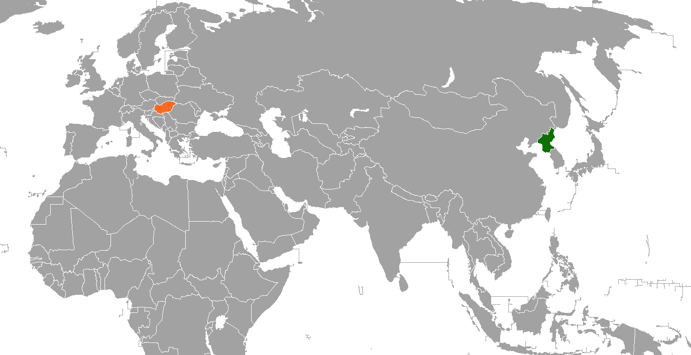
| Description |
English: Map of the world showing Iran and Afghanistan, created for the en:Hungary–North Korea relations article |
| Date | 2008-12-22 |
| Source | Based on Image:BlankMap-World-v5.png |
| Author | Pahari Sahib |
ترخيص
 |
Permission is granted to copy, distribute and/or modify this document under the terms of the GNU Free Documentation License, Version 1.2 or any later version published by the Free Software Foundation; with no Invariant Sections, no Front-Cover Texts, and no Back-Cover Texts. Subject to disclaimers. |
|
|
This work is licensed under the Creative Commons Attribution-ShareAlike 3.0 License. This licensing tag was added to this file as part of the GFDL licensing update. This template should only be used on image pages. |
تاريخ الملف
اضغط على زمن/تاريخ لرؤية الملف كما بدا في هذا الزمن.
| زمن/تاريخ | صورة مصغرة | الأبعاد | مستخدم | تعليق | |
|---|---|---|---|---|---|
| حالي | ★ مراجعة معتمدة 10:29، 4 نوفمبر 2023 | | 1٬376 × 708 (74 كيلوبايت) | Pastakhov (نقاش | مساهمات) | Upload https://upload.wikimedia.org/wikipedia/commons/c/cf/North_Korea_Hungary_Locator.png |
لا يمكنك استبدال هذا الملف.
وصلات
لا يوجد صفحات تصل لهذه الصورة.